Many people may not realize the importance of understanding how sections within Texas surveys are organized and utilized. These divisions play a significant role in land management, property valuation, and resource allocation. By familiarizing yourself with this structured survey system, you can gain valuable insights into land ownership, navigation, and legal descriptions, thereby empowering your decision-making process in real estate or land development matters. In this blog post, we will research deeper into the organization of these sections and their practical applications.
Overview of Texas Surveys
For landowners and developers in Texas, understanding surveys is crucial. Texas surveys are organized around legal descriptions that identify land parcels, facilitating property transactions and development. These surveys provide detailed information about land boundaries, easements, and adjacent structures, ensuring that you have a comprehensive understanding of your property rights and obligations.
History of Land Surveys in Texas
History of land surveys in Texas traces back to the Spanish colonization period. The need for land documentation became paramount in establishing ownership and trade. Over the years, as Texas transitioned through various political regimes, surveying methods evolved, leading to the formalized practices used today. This historical context is vital for understanding how property lines and boundaries have been shaped over time.
Types of Surveys Used in Texas
Types of surveys in Texas can vary significantly, each serving unique purposes. Here is a breakdown:
| Type of Survey | Description |
| Boundary Survey | Defines the property lines of a parcel. |
| Topographic Survey | Maps the contours and elevations of the land. |
| ALTA/NSPS Survey | Meets specific standards, often for commercial properties. |
| Construction Survey | Guides the construction process by marking property boundaries. |
| Subdivision Survey | Divides a larger parcel into smaller lots for development. |
Hence, understanding these types of surveys allows you to better navigate your land-related projects. Each survey type fulfills specific needs, ensuring that you have the necessary documentation for various situations. Some key survey types include:
- Boundary surveys for establishing property lines.
- Topographic surveys for understanding land elevation.
- ALTA/NSPS surveys for commercial transactions.
- Construction surveys for building purposes.
- Subdivision surveys for developing new lots.
Any of these surveys can provide valuable insights into your property, aiding in decision-making and future planning.
Structure of Texas Surveys
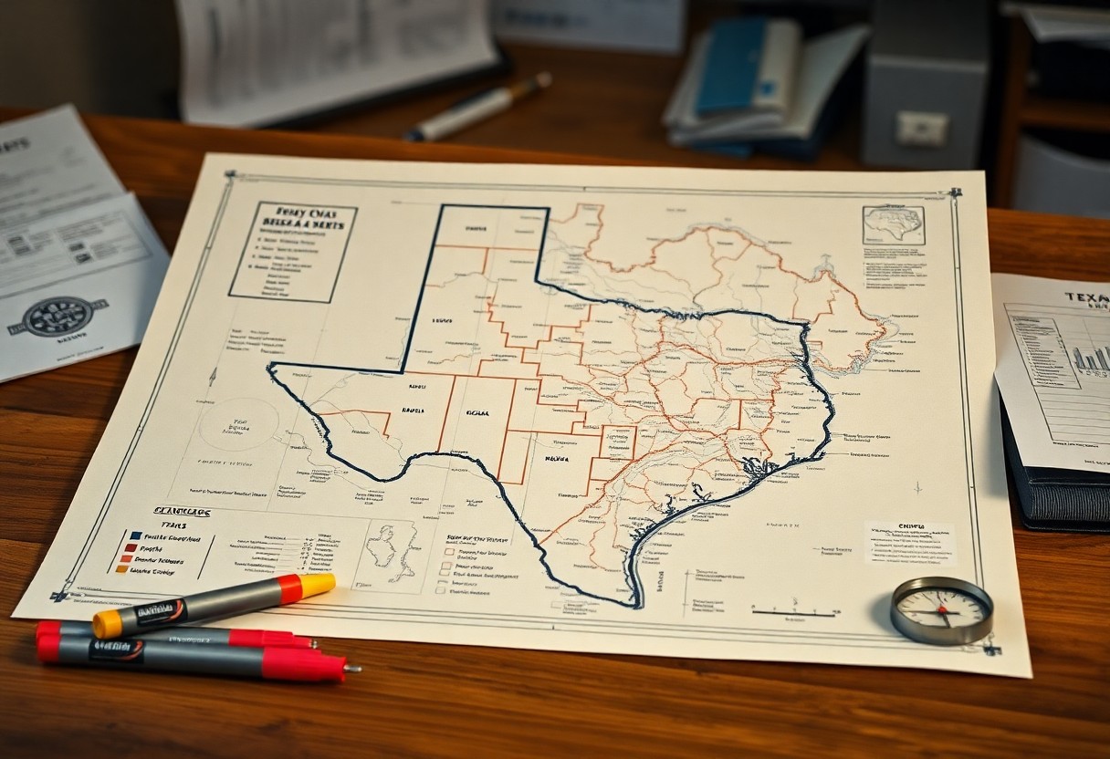
Even when navigating the complexities of land ownership in Texas, understanding the structure of Texas surveys is important. Surveys are typically organized into sections, which are the fundamental units of measurement. Each section measures one square mile and contains 640 acres, allowing landowners and surveyors to clearly define property lines and boundaries.
Organization of Sections
Surveys in Texas are organized into a grid pattern, with each section subdivided into smaller parts known as lots or tracts. This systematic approach enables you to pinpoint specific locations and easements more efficiently. Sections are further grouped into townships, making it easier to manage land records and ownership disputes.
Importance of Section Boundaries
Around each section are defined boundaries that play a significant role in land ownership and rights. These boundaries not only delineate property lines but also help in resolving conflicts between landowners. Understanding these boundaries can enhance your ability to navigate legal agreements and land-use planning.
And as you examine deeper into property management, recognizing the importance of section boundaries becomes even clearer. By accurately identifying these lines, you can avoid potential disputes with neighbors, ensuring that your rights are preserved. Additionally, clear boundaries facilitate development planning and resource management, making them indispensable for any landowner in Texas.
Legal Framework Governing Surveys
While understanding Texas surveys, it’s imperative to recognize the legal framework that governs them. This framework comprises various state laws and regulations that establish standards for surveying practices and land descriptions. Compliance with these laws ensures the accuracy and legitimacy of surveys, safeguarding property rights and facilitating real estate transactions in Texas.
State Laws and Regulations
Governing body laws, like the Texas Occupations Code, set forth regulations for professional land surveyors and their practices. These laws dictate how surveys must be conducted, the ethical obligations of surveyors, and the standards for survey documentation. Familiarizing yourself with these regulations can enhance your understanding of property boundaries and land ownership issues.
Role of the Texas General Land Office
Before conducting any survey, it’s important to understand the Texas General Land Office’s significant role in managing public lands and overseeing surveying processes. This office provides resources, maintains historical land records, and ensures compliance with surveying standards established by state law.
Role of the Texas General Land Office extends beyond mere oversight; it is a vital resource for surveyors and landowners alike. The office maintains a repository of public land documents, including historical surveys and land grants, which support the research and verification process. By leveraging the information available through the General Land Office, you can access valuable data that helps ensure the accuracy of your survey and strengthens your understanding of property boundaries.
Utilization of Sections in Property Transactions
Your understanding of sections plays a significant role in property transactions within Texas. Each section represents a distinct unit of land that can be bought, sold, or developed. When you consider purchasing land, recognizing these sections helps you determine property boundaries, understand zoning regulations, and navigate legal documentation. This knowledge can empower you to make informed decisions as you explore various properties across the vast Texas landscape.
How Sections Affect Land Sales
An awareness of how sections are structured can heavily influence land sales. Properties are often categorized based on these sections, affecting their market value, potential use, and even resale opportunities. For sellers, presenting a property accurately within its section is key to attracting potential buyers. Understanding the layout and characteristics of each section can help you negotiate better terms and prices in your real estate transactions.
Navigating Section Listings and Descriptions
Above all, navigating section listings and descriptions can simplify the property search process. By familiarizing yourself with these terms, you can streamline your research and pinpoint relevant properties more efficiently. Listings will usually include section numbers, property dimensions, and other vital information that defines the land’s features, enabling better decision-making.
At the heart of effective property searching lies a thorough understanding of section listings. These listings not only identify the geographical layout but also provide crucial details on land use regulations, access to utilities, and proximity to local amenities. When you thoroughly analyze section descriptions, you equip yourself with the insights needed to assess a property’s potential and find the best fit for your needs. Thus, investing time in understanding these listings can lead to more successful and satisfying real estate transactions.
Challenges in Section Organization
Once again, section organization within Texas surveys can present various challenges that require your attention. These difficulties often arise from inconsistencies in measurements, misinterpretations of property boundaries, or a lack of comprehensive documentation. Such issues can lead to confusion and disputes among stakeholders, which can complicate land transactions or development projects. Understanding and addressing these challenges is vital for effective land management and ownership clarity.
Common Issues Encountered
Common issues encountered in section organization include overlapping boundaries, erroneous data entries, and unclear legal descriptions. Additionally, discrepancies in historical survey records can create uncertainty about rightful ownership. You may find that resolving these conflicts becomes vital to avoid potential legal ramifications or disputes over property rights.
Solutions and Best Practices
Around these challenges, implementing solutions and best practices can streamline your approach to section organization. Keeping accurate records, utilizing modern surveying technologies, and obtaining regular re-evaluations can significantly improve clarity. Regular communication with landowners and stakeholders also ensures ongoing collaboration in resolving potential conflicts.
With proper solutions in place, you can enhance the organization of sections within your Texas surveys. For instance, investing in up-to-date surveying equipment and software can minimize errors, while comprehensive training for your team will enable them to navigate legal descriptions and boundary issues more effectively. Establishing a transparent communication process among stakeholders can prevent misunderstandings and facilitate smoother conflict resolution. By adopting these best practices, you position yourself to manage sections with greater efficiency and professionalism.
Future Trends in Texas Surveys
Despite the ongoing evolution in land surveying practices, the future of Texas surveys is poised to embrace more innovative techniques that streamline data collection and enhance accuracy. As you explore this dynamic field, you’ll see how the integration of modern technologies and adaptability to changing landscapes will redefine the way surveys are conducted in the Lone Star State.
Technological Advancements
An array of technological advancements is transforming the surveying landscape in Texas. Drones, Geographic Information Systems (GIS), and 3D scanning are among the cutting-edge tools you will find increasingly utilized for surveying tasks, allowing for faster data collection and more detailed analyses. These innovations empower you to gain deeper insights into land use and terrain, paving the way for more informed decision-making.
Impact of Urban Development
Besides technological advancements, the rapid pace of urban development continues to influence the methodologies and applications of land surveying in Texas. As you navigate the ever-expanding urban landscapes, you’ll recognize how the need for precise land demarcation and monitoring has grown, guiding sustainable development and resource management.
Advancements in urban development require land surveyors to adapt their methods significantly. New construction projects, infrastructure improvements, and urban sprawl all necessitate enhanced surveying techniques to manage changing landscapes and facilitate planning. As you witness urban growth, you may find that your role as a surveyor increasingly entails collaborating with city planners, engineers, and developers to ensure that projects meet current standards and address environmental considerations. The confluence of urbanization and surveying will demand a multi-disciplinary approach, necessitating continuous learning and adaptation to new tools and regulations.
To wrap up
As a reminder, understanding how sections within Texas surveys are organized and utilized helps you navigate land ownership and property transactions effectively. Each section is part of a systematic grid that allows you to pinpoint locations and assess property boundaries accurately. By familiarizing yourself with this organization, you can make more informed decisions regarding real estate investments, land management, and even legal matters related to land use. This knowledge empowers you to maximize the potential of your property while ensuring compliance with state regulations.