Over the years, understanding the nuances of America’s surveyed land grid has become vital for landowners, developers, and enthusiasts alike. You may not realize that quarter quarters—parcels of land measuring 40 acres—play a significant role in this grid system, impacting everything from property lines to zoning regulations. By grasping the importance of these divisions, you can better navigate the complex world of land use, ensuring that you make informed decisions whether buying, selling, or simply understanding the landscape around you.
The Birth of the Quarter Quarter Concept
The quarter quarter concept emerged as a straightforward solution to effectively organize and subdivide land in the United States. By dividing sections of land—each typically a mile square—into smaller parcels, the quarter quarter system facilitated both land transfer and ownership clarity, which became increasingly important as the nation expanded westward. This method allowed individuals to claim ownership of more manageable plots, further encouraging settlement and agricultural development.
Historical Context of Land Surveys
Legal Foundations Impacting Land Division
Legal frameworks governing land division emerged gradually as the U.S. government sought to manage the vast territories acquired through treaties and wars. The Land Ordinance of 1785 set the groundwork for how land would be divided and sold, establishing the rectangular survey system. Subsequently, the Homestead Act of 1862 paved the way for individual ownership, allowing settlers to claim and cultivate parcels of land, often rewarding them with a quarter section. These legislative measures created a structured approach to land distribution, ensuring it aligned with both economic needs and settlement policies.
The Land Ordinance mandated that each township would be subdivided into thirty-six sections, each encompassing 640 acres. This systematic approach not only provided a template for land allocation but also emphasized the importance of the quarter quarter as 40-acre designs emerged, facilitating easy access for settlers. As laws evolved, so did the relevance of quarter quarters in defining ownership boundaries and easing the recording process in local land offices. This historical foundation solidified the quarter quarter’s role in America’s development, influencing economic growth and community planning across the nation.
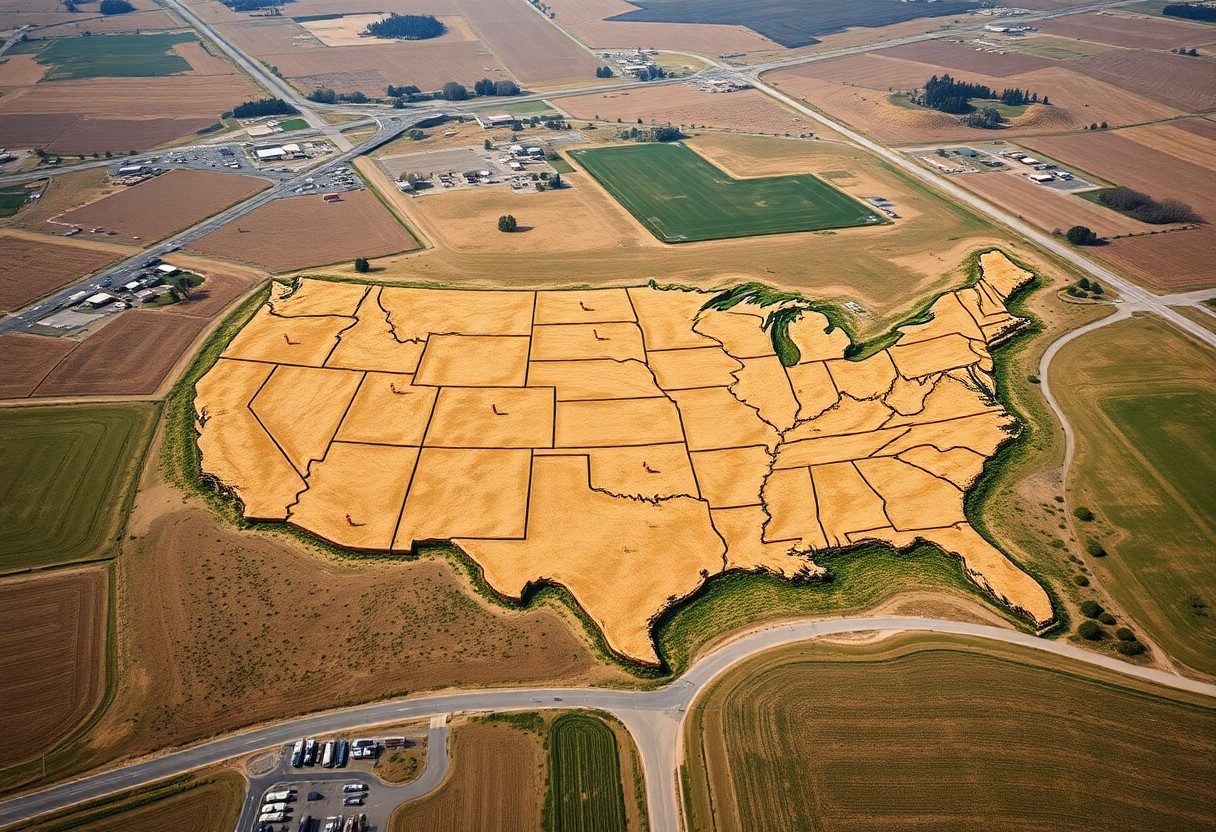
Demystifying the Land Grid System
Grasping the intricacies of the land grid system enhances your ability to navigate America’s vast landscapes. This system, rooted in the Public Land Survey System (PLSS), employs a hierarchical layout of townships and sections to delineate property boundaries across the country. Understanding this structure helps you interpret land ownership and usage effectively, allowing for more informed decisions whether you are investing in property, engaging in land management, or simply exploring the great outdoors.
Components of the Public Land Survey System
The Public Land Survey System consists of a systematic approach that divides land into a series of squares. Each township measures six miles by six miles and is further divided into 36 one-mile-square sections. These sections can be subdivided into quarter sections, and then further into quarter quarter sections, ensuring precision in land measurement and management across diverse terrains and regions.
The Significance of the Quarter Quarter Sections
Quarter quarter sections are pivotal as they provide a finer granularity of land division, measuring just 40 acres. This allows for more manageable parcels suitable for various uses including agriculture, residential development, or conservation. Their standardization simplifies transactions and legal descriptions, making it easier for you to identify specific plots and rights. Understanding these subdivisions equips you with the knowledge necessary for land assessment and strategic planning in real estate dealings.
The quarter quarter section’s importance also extends beyond its size. Each piece, being precisely 40 acres, allows farmers and landowners to maximize the utility of their holdings, facilitating effective crop rotation, livestock management, and resource allocation. Additionally, land use regulations and zoning laws often refer to these specific divisions, impacting everything from development approvals to conservation efforts. Familiarizing yourself with these sections can empower you to engage more effectively with land regulations, ensuring that you remain compliant while optimizing the potential of your properties.
Mapping America: Practical Applications of Quarter Quarters
Quarter quarters serve as a foundational element in various practical applications across the United States. By dividing land into smaller, manageable units, these divisions help streamline land assessments, facilitate agricultural planning, and enhance real estate transactions. These subdivisions directly correlate with local infrastructure development and impact long-term land use strategies, enabling better decision-making processes grounded in detailed geographic data.
Real Estate and Development Implications
In real estate, understanding quarter quarters allows developers to identify optimal sites for projects. By utilizing these subdivisions, you can maximize land efficiency, ensuring that zoning laws align with community needs. For investors, these parcels represent strategic opportunities for residential and commercial developments, especially in rapidly growing areas where land availability can become limited.
The Role in Land Use Planning and Zoning
Land use planning and zoning heavily rely on quarter quarters for ensuring organized, community-focused development. By categorizing larger tracts into manageable portions, local planners can define appropriate usage—whether for residential, commercial, agricultural, or recreational use. This zoning framework aids in mitigating conflicting land uses and enables municipalities to enforce regulations that reflect community goals and standards.
Effective land use planning hinges on accurate data, and quarter quarters provide the granularity necessary for informed decision-making. Planners can analyze demographics, assess environmental impacts, and forecast growth patterns with greater precision when using these subdivisions. By aligning land use plans with quarter quarter boundaries, municipalities can facilitate sustainable development, improve resource allocation, and respond adeptly to changing community needs. This ensures that each piece of land fulfills its intended purpose while enriching the overall quality of life for residents.
From Boundaries to Values: Economic Impact of Quarter Quarters
The economic impact of quarter quarters extends beyond mere geography; it forms the backbone of land valuation and local economies. By dividing land into manageable sections, stakeholders can assess real estate potential, agricultural viability, and other economic opportunities. This systematic approach to land management allows for efficient organization, resulting in informed decision-making that enhances property use and ownership structures.
Assessing Land Value through Quarter Sections
You can determine land value more easily using quarter sections, which facilitate precise assessments of agricultural productivity and property desirability. For instance, nearby infrastructure, water resources, and soil quality factors can be better analyzed at this scale, providing concrete data that investors and landowners can leverage to maximize property value.
The Influence on Local Taxation and Revenue
Quarter sections play a significant role in shaping local taxation structures and revenue independence. Accurate mapping of these subdivisions allows municipalities to assign property taxes based on fair assessments of land value, promoting equitable contributions from property owners within a community.
Local governments rely on the insights gained from quarter sections to establish tax rates that reflect current land values and enable effective resource allocation. This contributes to the overall financial health of county and city budgets, influencing investments in public services such as infrastructure, education, and emergency services. For instance, in areas where agriculture predominates, tax revenues can fluctuate according to crop yields and land-use changes, directly affecting community resource availability. Thus, understanding quarter quarters provides a clearer picture of how taxation shapes local economies and governance.
The Future of Land Surveying: Innovations and Challenges
Emerging technologies are transforming land surveying, promising enhanced accuracy and efficiency. The integration of drones, geographic information systems (GIS), and 3D laser scanning is reshaping how surveys are conducted, allowing for rapid data collection and improved accessibility. These innovations not only streamline processes but also enhance collaboration between surveyors and other stakeholders in urban planning and land development.
Technological Advancements in Land Surveying
Advancements in technology are revolutionizing land surveying methods, with tools like GPS and satellite imagery enabling precise measurements. Drones equipped with high-resolution cameras capture large areas quickly, while software solutions facilitate real-time data analysis. These innovations can reduce survey time significantly, enabling you to access information more rapidly and make informed decisions about land use and development.
Addressing Landownership and Equity Issues
Equity challenges in land ownership remain a critical concern, particularly for marginalized communities. Improvements in surveying practices can help create more inclusive systems that recognize historical injustices. By mapping and addressing discrepancies in land records, you support equitable land distribution and ownership, which ultimately fosters economic stability and community resilience.
Effective land surveying can play a pivotal role in addressing long-standing landownership and equity issues by providing clear and accessible land records. For example, multiple initiatives aim to digitize public land records to reduce barriers for underrepresented groups. By actively involving diverse communities in the surveying process, you can help identify and rectify historical inaccuracies, ensuring that all individuals have equal access to land rights and opportunities. This not only honors the concept of fair play but also drives sustainable development within these communities.
Summing up
On the whole, understanding quarter quarters is necessary for you to navigate America’s surveyed land grid efficiently. These divisions enhance your ability to locate and analyze land parcels accurately. By grasping the significance of the Public Land Survey System, you can better comprehend property boundaries and land use, empowering you in decisions related to real estate and land management. Engaging with this system enriches your knowledge of land documentation, ultimately aiding you in making informed choices regarding land ownership and development.