Why Is The Surveyed Land Grid Fundamental To Navigating Complex Landscapes?

Over centuries, the surveyed land grid has become an necessary framework for understanding and navigating complex landscapes. By providing a systematic approach to land measurement and division, it allows you to orient yourself geographically and make informed decisions whether you’re planning a hike, constructing a building, or engaging in land management. This blog post will … Read more

What Is The Significance Of Quarter Quarters In The Land Grid System?

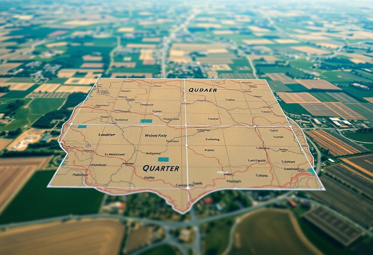
Understanding the significance of quarter quarters in the land grid system is vital for anyone working in real estate, agriculture, or land management. These divisions play a pivotal role in land surveying and management practices, allowing you to accurately delineate smaller plots within a larger section of land. By utilizing the quarter quarter system, you … Read more

What Role Do Quarter Quarters Play In Preserving Historical Land Parcels?

History reveals that quarter quarters are important in maintaining the integrity of historical land parcels. By understanding their function and significance, you can appreciate how quarter quarter boundaries protect cultural heritage and inform land use planning. These small sections not only represent land ownership but also play a vital role in preserving the stories and … Read more

Why Are Quarter Quarters Crucial In Understanding America’s Surveyed Land Grid?

Over the years, understanding the nuances of America’s surveyed land grid has become vital for landowners, developers, and enthusiasts alike. You may not realize that quarter quarters—parcels of land measuring 40 acres—play a significant role in this grid system, impacting everything from property lines to zoning regulations. By grasping the importance of these divisions, you … Read more

How Does The Land Grid System Enhance Flood Management Around Riverbanks?

With growing concerns about flooding in riverbank areas, understanding the land grid system is necessary for effective flood management. This systematic approach not only organizes land use efficiently but also helps in controlling water flow during high-risk periods. By integrating various land management practices within the grid, you can enhance the resilience of your local … Read more

How Do Labor Measurements Influence The Texas Land Grid?

Over the years, labor measurements have played a significant role in shaping the Texas Land Grid, a system designed to organize and manage land use. Understanding how these measurements affect land distribution can enhance your knowledge of property values, land ownership, and agricultural practices in Texas. In this post, you will discover how labor measurements … Read more

How Does The Texas Land Grid Simplify Land Management And Surveying?

Just as you navigate through your day, understanding the Texas Land Grid can streamline your land management and surveying tasks. This systematic framework organizes land into a user-friendly grid, simplifying the processes of ownership identification, property delineation, and boundary determination. By familiarizing yourself with this grid system, you can enhance the efficiency of your land-related … Read more

How Do Townships Relate To The Larger Framework Of The Texas Land Grid?

Texas is known for its vast landscapes and organized land divisions, and understanding how townships fit into the larger framework of the Texas land grid is imperative for anyone interested in land use, property management, or real estate. Townships serve as a fundamental building block within this grid system, helping to create clarity and order … Read more

How Can Geospatial Data Solutions Revolutionize Your Land Grid Management?

Many professionals in land management are discovering how geospatial data solutions can transform their operations. By leveraging advanced spatial analytics, you can gain valuable insights into land use, optimize resource allocation, and enhance decision-making processes. These innovative technologies empower you to visualize trends, streamline workflows, and improve overall efficiency in managing your land grid. In … Read more

What Features Should A Data Visualization Dashboard Include For Effective Land Grid Analysis?

Dashboard design is key for effective land grid analysis, enabling you to visualize complex data and derive actionable insights. To enhance your analytical capabilities, it’s vital to include features like customizable filters, interactive maps, and real-time data updates. These elements allow you to tailor your view and focus on specific land characteristics or trends. Additionally, … Read more