What Role Do Topographic Anomalies Play In Ideal Well Pad Planning Using GIS?

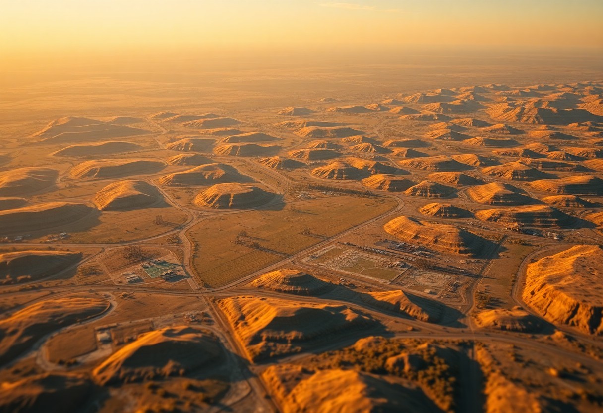
Just as you navigate a complex terrain, understanding topographic anomalies is imperative for optimal well pad planning. In this post, you will explore how Geographic Information Systems (GIS) can help identify these anomalies, ensuring that your well pad placements maximize efficiency while minimizing environmental impact. By leveraging GIS technology, you can gain valuable insights into … Read more

What Are The Esoteric Benefits Of Using GIS For Strategic Well Pad Placement?

Just as you seek the most efficient solutions in your oil and gas operations, leveraging Geographic Information Systems (GIS) for strategic well pad placement can unlock not only operational advantages but also deeper insights into environmental and social dimensions. By utilizing GIS, you can visualize complex data layers, enhance site selection, and optimize resource allocation. … Read more

How Can GIS Revolutionize The Planning Of Well Pads In Complex Lease Agreements?

You may be aware that managing well pads within intricate lease agreements can be challenging. Geographic Information Systems (GIS) offer innovative solutions to streamline this planning process. By providing spatial data analysis and visualization, GIS empowers you to make informed decisions, optimize land use, and navigate regulatory requirements with greater ease. In this post, you’ll … Read more

What Are The Key Benefits Of Data Migration Services For Your Enterprise GIS?

Just as technology continues to evolve, so should your enterprise Geographic Information System (GIS). Data migration services offer you a seamless way to transition your data from legacy systems to modern platforms, enhancing accessibility and performance. By understanding the key benefits of these services, you can streamline your operations, improve data integrity, and leverage advanced … Read more

Why Should Enterprises Invest In A Comprehensive GIS Software Suite For Land Grids?

Just when you think about enhancing your enterprise’s operational efficiency, investing in a comprehensive GIS software suite for land grids should be at the forefront of your strategy. This powerful tool enables you to visualize, analyze, and manage land-related data seamlessly, allowing for more informed decision-making and resource allocation. By leveraging GIS technology, you can … Read more

What Makes Cloud-Based GIS Hosting Essential For Modern Land Grid Applications?

LandGrid applications rely on advanced technologies for effective management and analysis of spatial data. In today’s fast-paced environment, cloud-based GIS hosting offers you unparalleled scalability, accessibility, and collaboration that traditional systems struggle to match. By harnessing the power of the cloud, you’re equipped to streamline operations, enhance data security, and improve decision-making processes. This post … Read more

In What Ways Can Mobile GIS Applications Streamline Land Data Collection?

You have the power to enhance your land data collection processes significantly by leveraging mobile GIS applications. These innovative tools offer a range of features that improve data accuracy, increase efficiency, and facilitate real-time collaboration. By integrating GPS capabilities and user-friendly interfaces, mobile GIS allows you to capture, analyze, and share geographical information seamlessly while … Read more

How Can GIS Mapping Of Public Land Survey System Benefit Renewable Energy Projects?

Most of the time, when you think about renewable energy projects, you may not consider the critical role that GIS mapping of the Public Land Survey System can play in their success. However, incorporating GIS technology in renewable energy planning can offer numerous benefits that can streamline project development and improve overall efficiency. By utilizing … Read more

How Can ESRI ArcGIS Software Enhance Your Understanding Of Land Grid Maps?

With the advancement of technology, ESRI ArcGIS software has become an invaluable tool for analyzing and interpreting complex land grid maps. This innovative software allows users to visualize, manage, and analyze spatial data in a way that enhances understanding and decision-making related to land grid mapping. By utilizing ESRI ArcGIS software, users can gain valuable … Read more

Integrating Texas Survey Data With GIS – What You Need To Know

There’s no denying the importance of accurate geographical data in today’s digital age. Pertaining to survey data in Texas, integrating it with Geographic Information Systems (GIS) can provide valuable insights and facilitate informed decision-making. Understanding the process and key considerations for combining survey data with GIS is crucial for ensuring the accuracy and effectiveness of … Read more