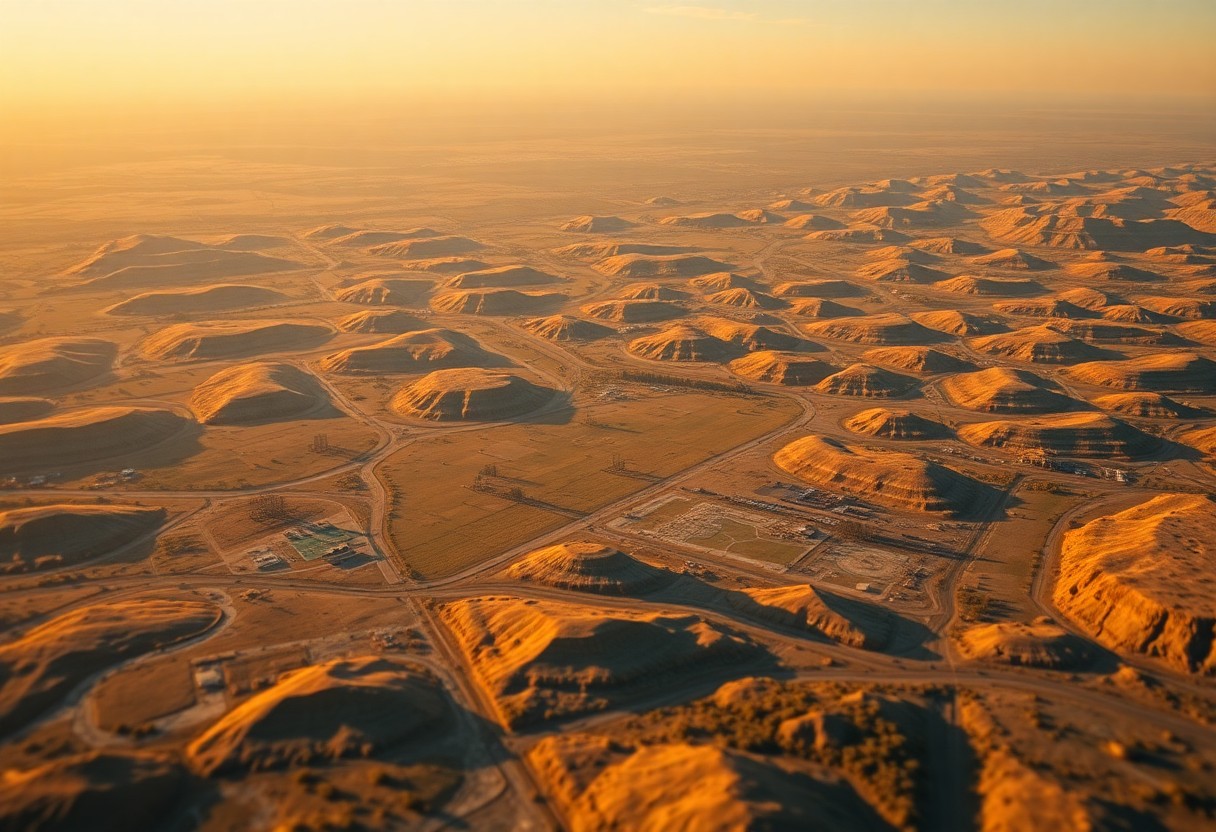
What Role Do Topographic Anomalies Play In Ideal Well Pad Planning Using GIS?
Just as you navigate a complex terrain, understanding topographic anomalies is imperative for optimal well pad planning. In this post, you will explore how Geographic Information Systems (GIS) can help identify these anomalies, ensuring that your well pad placements maximize efficiency while minimizing environmental impact. By leveraging GIS technology, you can gain valuable insights into … Read more


